8 Reasons A Trip to the Philippines Should Be In Your Future
by Huffington Post

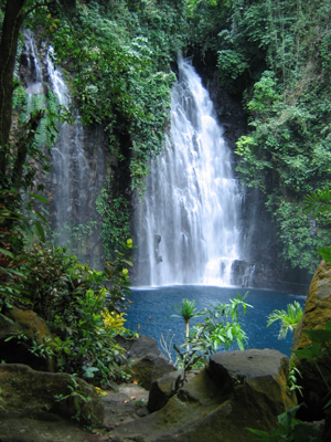
Amazing Waterfalls in the Philippines
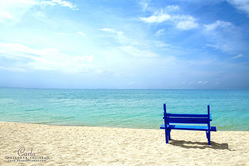
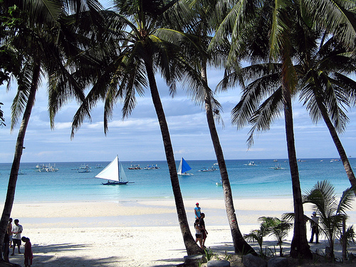
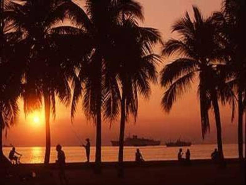
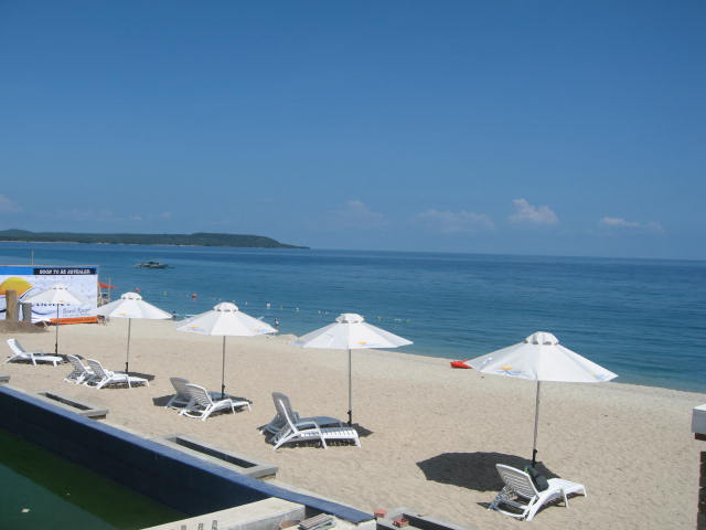
Magnificent Beaches in the Philippines
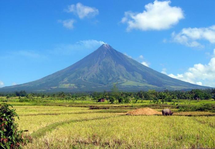
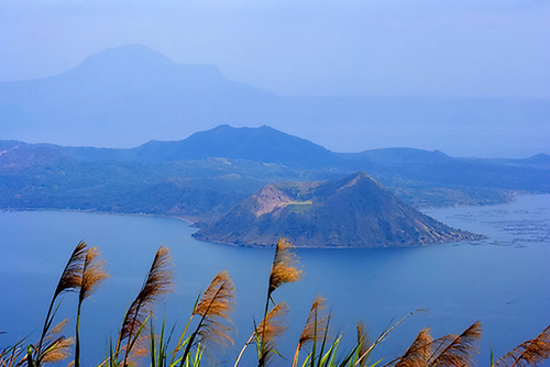
Breathtaking Volcanoes in the Philippines
Awesome Caves in the Philippines
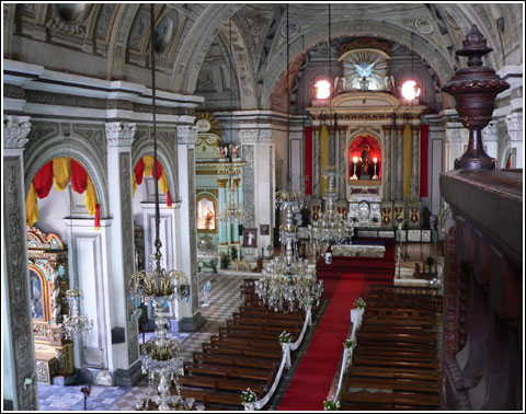
Grand Churches in the Philippines
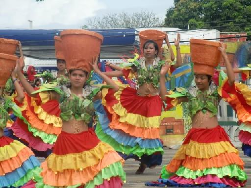
Colorful and Meaningful Festivals in the Philippines

see more pictures and
videos of the Philippines!

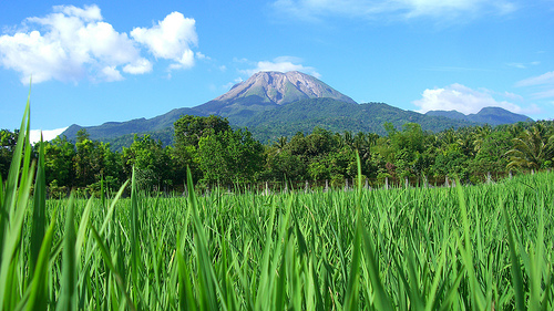
MOUNT MATUTUM
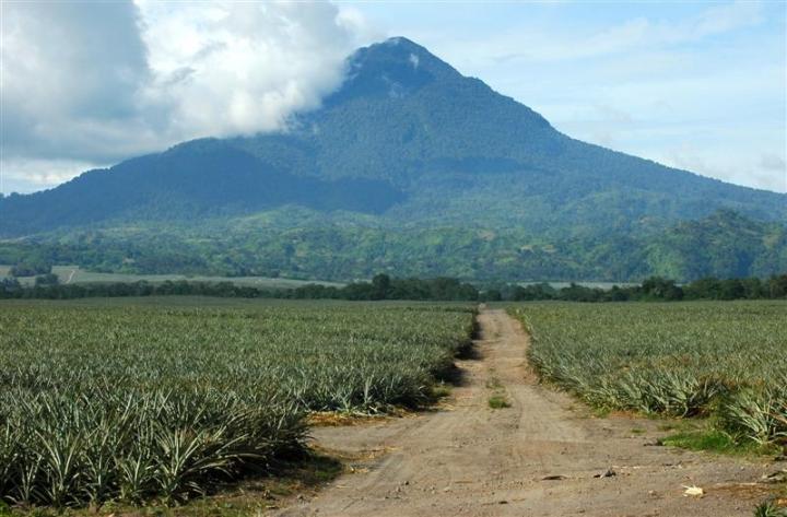 Photo from: http://thingsasian.com/story/mt-matutum-true-gift-mother-nature
Mount Matutum is situated in Tupi, South Cotabato. It is an active volcanic mountain with an elevation of 2,286 meters above the sea level. The last recorded eruption of this mountain was in 1911. The shape of this mountain is like Mount Mayon, symmetrically conical which was molded by the last eruption activities, but it is not a perfect cone.
Mount Matutum hosts a variety of flora and fauna which is composed of 110 plant species and 57 animal species. It is a home of tropical and rare species of birds, including the rarest, tallest, largest and most powerful birds in the world, the Philippine Eagles (Pithecophaga jefferyi) or the monkey-eating eagles, that have been lined-up as endangered. There are also bleeding heart pigeons, the Negros fruit doves which are almost extinct, barblers, warblers, doves, bulbuls, woopeckers, and snowy brown flycatchers. The locals also see tarsiers, the world’s smallest monkeys, in the place and researchers have conducted a one-year study on this animal – their population size, distribution, density, habitat, and status in the place. Read More: https://www.vigattintourism.com/tourism/articles/Mount-Matutum
 Photo from: http://distantpeak.blogspot.com/2013/01/mount-matutum.html
Mount Matutum is a symmetrical stratovolcano located in southern Mindanao, NW of Sarangani Bay and 30 km NNW of General Santos City.
The mountain, a popular hiking destination, has a well-preserved summit cone and a 320 m wide and a vegetated 120 m deep summit crater. The crater is breached by 3 large canyons.
The plains around Matatum volcano are covered by silicic pyroclastic-flow deposits, the youngest of which were radiocarbon dated at about 2000 years ago. 2 thermal areas, Akmoan and Lianan, are found on the WSW flank of the volcano. Read More: https://www.asiatravelgate.com/mount-matutum-south-cotabato-philippines/
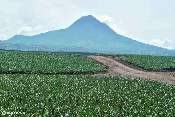 Photo from: https://explora.ph/attraction/616/mt-matutum-and-pineapple-fields
The name Mount Matutum is derived from the local Blaa’n tongue “Amyak Maleh” meaning climb and plant. Indeed, all trekkers are required to plant a tree while visiting the Mountain. The Mountain and its surrounding landscape are protected through a Presidential Proclamation issued March 25, 1995 by President Fidel Ramos. The indigenous Blaa’n group that inhabits this part of South Cotabato protects the Mountain and surrounding 14,000 hectacre forest.
It’s irregular characteristic shape was formed by volcanic uplift during previous periods of activity. The last eruption (unconfirmed) occurred on March 7, 1911. It is classified as a non-active volcanic cone composed mostly of pyroxene andosite. Its surrounding areas are classified as volcanic slopes and piedmonts.
Mt. Matutum forms the headwaters and catchment area for several major drainages including the Klinan, Silway, and Buayan rivers which empty into the magnificantly beautiful Sarangani Bay through General Santos City. These rivers provide rich nutrients to nearby communities. Recognizing the lush vegetation, on December 7, 1963 the Dole Company established in nearby Polomolok what is arguably the largest pineapple plantation in the in the world. Read More: https://www.summitpost.org/mount-matutum/585107
Other Photos
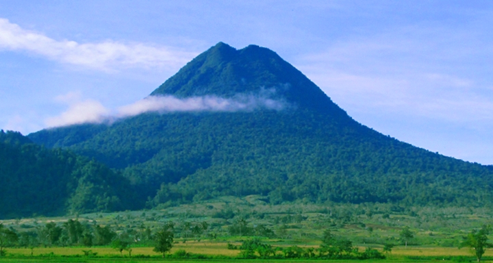 Photo from: https://www.pna.gov.ph/articles/1005068
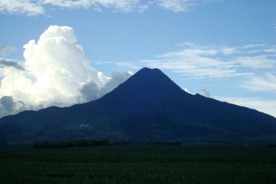 Photo from: https://www.asiatravelgate.com/mount-matutum-south-cotabato-philippines/
 Photo from: https://www.everydaycoffee.ph/blog/182975853025/mount-matutum
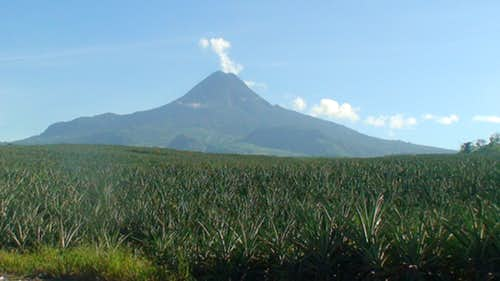 Photo from: https://www.summitpost.org/mount-matutum/585107
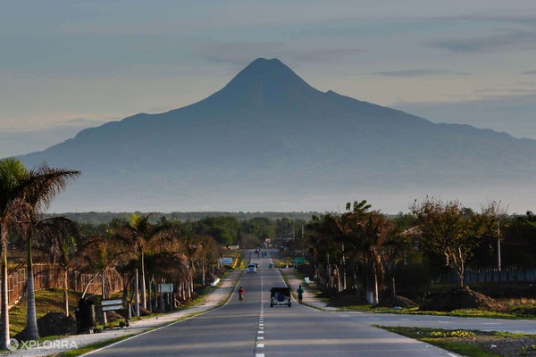 Photo from: https://explora.ph/attraction/616/mt-matutum-and-pineapple-fields
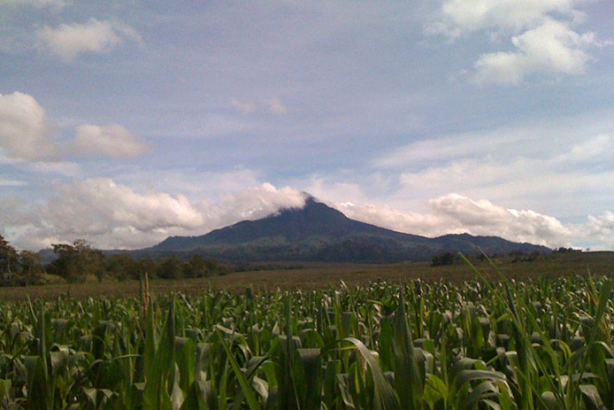 Photo from: https://www.asiatravelgate.com/mount-matutum-south-cotabato-philippines/
Watch the Videos:
TABLE OF CONTENTS
South Cotabato is a Part of REGION XII also known as SOCCSKSARGEN
South Cotabato and Its Strategic Location
Where is South Cotabato and How to Get There
Best Places to See in South Cotabato
Watch Colorful Festivals in South Cotabato
Let’s Have Fun in South Cotabato
South Cotabato Video Collection
Other Visitors Also Viewed:
Palani Beach Boasts of a 10 Km-Long White Sand Beach
San Isidro Labrador / Pahiyas Festival in Quezon
Colorful and Exciting Festivals in Nueva Ecija
Top Tourist Destinations in Aklan
Embajada Festival – a Re-Enactment of Christianization
Bird Watching at the Olango Wildlife Sanctuary
The Small Paradise in Agho Island in Iloilo
Sugbo Festival Honors the Humble Tiger Grass
Kabila / Kibila White Beach is Famous for Diving and Snorkeling
The Unspoiled Beauty of Aroroy Beach
Enjoy Spelunking and Swimming at Suhot Cave and Spring