Posts Tagged ‘map of the Philippines’

Planning a trip? Those who love to travel know the essence of all travel is about you and your enjoyment. Travelers know that the destination is a major part in planning a trip, experiencing and delving deeper into an unfamiliar places, people and culture is paramount.
Expand your horizons and set your sight to the Philippines, an off the beaten path travel site! An undiscovered paradise made of thousands of islands and white sand beaches all around! A tiny dot in the map of the world, and yet a haven for travelers, backpackers, retirees and even passersby.
It offers awesome tourist attractions, magnificent beaches, hot spring resorts, colorful festivals, hundreds of scenic spots and world-class hotels and facilities. Not to mention the tropical climate, the affordable prices as well as the friendly and hospitable, English-speaking people! You will be glad you came, and we’re sure, you WILL come back for more FUN in the Philippines!
MASBATE
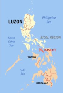 By Eugene Alvin Villar (seav) – English Wikipedia, CC BY-SA 3.0, https://commons.wikimedia.org/w/index.php?curid=555389
Masbate island is part of the Visayan island group, bordered by the Sibuyan (west), Visayan (south), and Samar (east) seas. The island lies 30 miles (48 km) southwest of the southern tip of Luzon and is V-shaped, with the open end of the V forming the Asid Gulf on the south. The discontinuous highlands that stretch along both arms of the V represent the major structural arcs of the Philippine archipelago. Masbate’s interior consists of rolling hills; grasslands cover two-thirds of the island.
Agriculture (corn [maize], rice, and root crops) is the dominant economic activity. The island has several livestock ranches and a government cattle-breeding station. Commercial fishing is concentrated in the southwest near Balud. Gold was mined for centuries near Aroroy in the north; operations declined in the 1960s, but they resumed in 2007 on the remaining substantial reserves there. Copper is found in the southeast. Read More: https://www.britannica.com/place/Masbate-island-Philippines
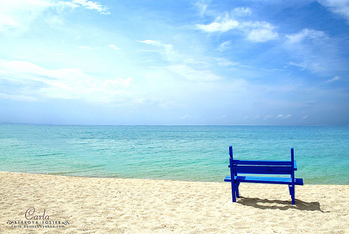
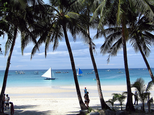
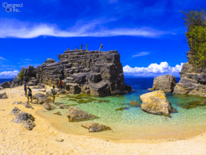 Photo from: https://www.idreamedofthis.com/2015/09/18/masbate-best-tourist-free-beaches-philippines/
The Province of Masbate is composed of 3 major islands, Masbate, Ticao ,and Burias. Masbate Island is boomerang shaped and easy to locate by looking directly in the center of the Philippine Islands. Masbate City is the largest city on the Island and geographically located on the North Central coast of the island. Masbate City is located on the Island of Masbate, which is in the Bicol Region of the Philippines. Thus, the city is on a small Peninsula which is located just east of Masbate Bay and creates a safe harbor and port.
The language of Masbate is Masbateno which is very close to illongo (spoken in Iloilo). English and Tagalog are also spoken and taught in all schools.
There are 30 Barangays (or villages) and a estimated population of over 250,000 (in 2008) in Masbate City which is the fastest growing city on the Island. Read More: http://www.masbatecity.com/
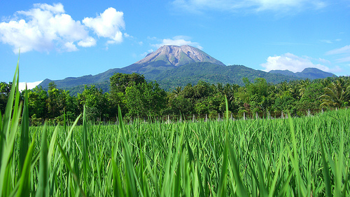
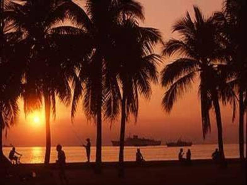
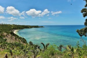 Photo from: https://boyplakwatsa.com/tag/aroroy/
Masbate is the kind of place you discover and just want to keep to yourself…but then you realize how much tourism would help the province, so you write a blog about it.
So why are there no tourists? Masbate has two things working against it: It’s relatively inaccessible, and it has a reputation for being dangerous. Well, eventually the airport will be retrofitted, and that will bring the cost of flights down.
Those willing to make the effort to come here now (by expensive flight or cheaper Roro bus) will be handsomely rewarded; for now is the time to experience the pristine Masbate that tourism may soon change forever. – Read More: https://www.idreamedofthis.com/2015/09/18/masbate-best-tourist-free-beaches-philippines/
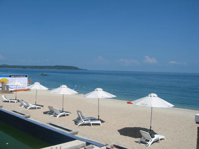
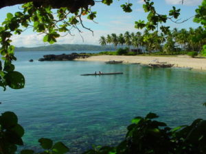 Photo from: http://wikivisually.com/wiki/Masbate
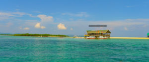 Photo from: http://masbatecity.gov.ph
TABLE OF CONTENTS
Explore the Hidden Beauty of Masbate
Top Tourist Attractions in Masbate
Colorful Festivals and Events in Masbate
Magnificent Beaches in Masbate
How to Have Fun in Masbate
Masbate Photo Gallery
Masbate Video Collection

